

Son Tra was once an island



Taking the train from Da Nang to Hue, when you reach the stretch of track that hugs the bay shore at the foot of Hai Van, look out the sea-side window and you'll see Son Tra lying across the water. A dark green mountain mass, both ends gently sloping down into the sea, with the city beside it reduced to a thin strip of houses. Seen from there, Son Tra looks just like an island.
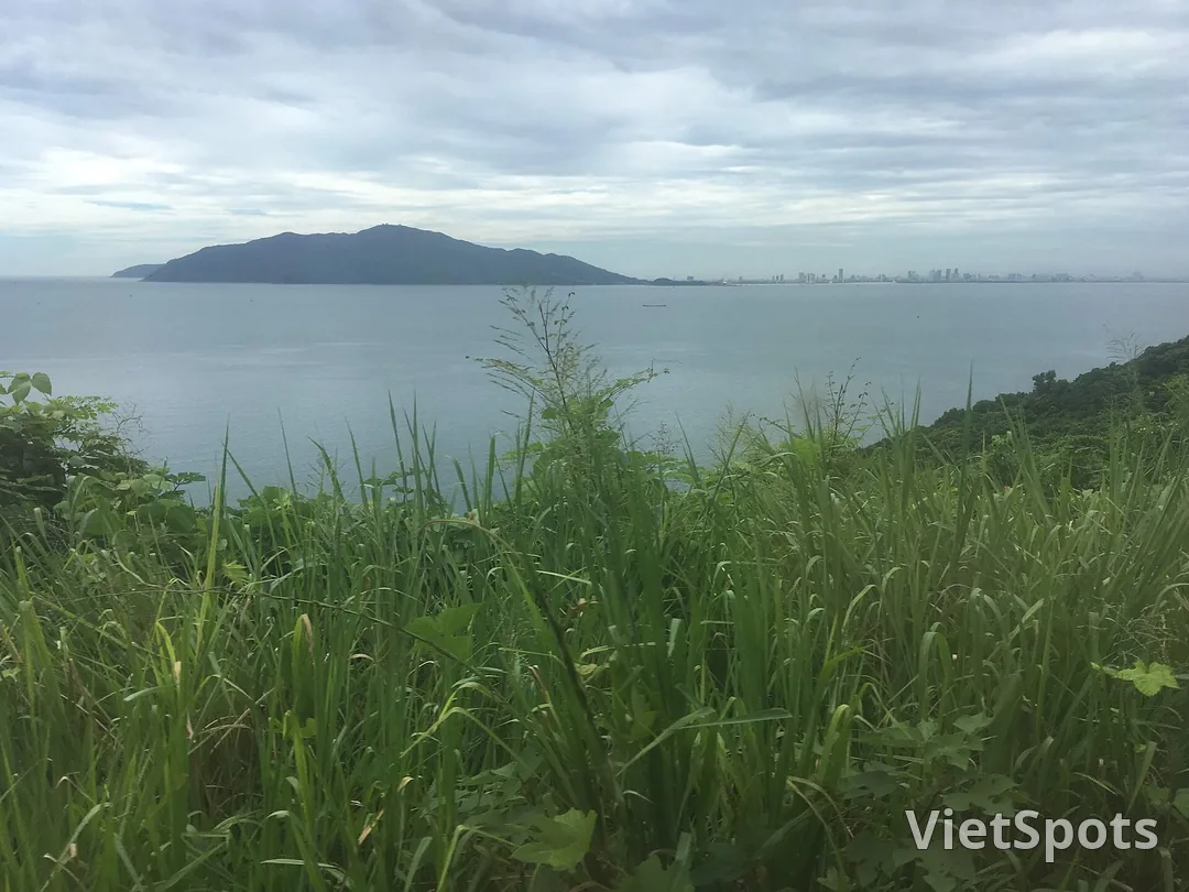
In the past, it really was an island.
The island has three mountains
Son Tra was once an island with three mountains, each of which was named by the ancients according to its shape. The southeastern peak looks like a nghê, a creature from legend, lunging out toward the sea, so it was called Hòn Nghê. Mũi Nghê (Cape Nghê) still keeps that name today. The western peak is as sharp as a hawk's beak, so it is called Hawk's Beak. The northern peak is as long as a horse's neck, so it is called Horse's Neck.
Back then, the sea lay between the island and the mainland. The current flowing along the shore carried silt, depositing a little more each year, until over time it formed a strip of land stretching from the mainland out to the foot of the mountain. From then on, the island became a peninsula.
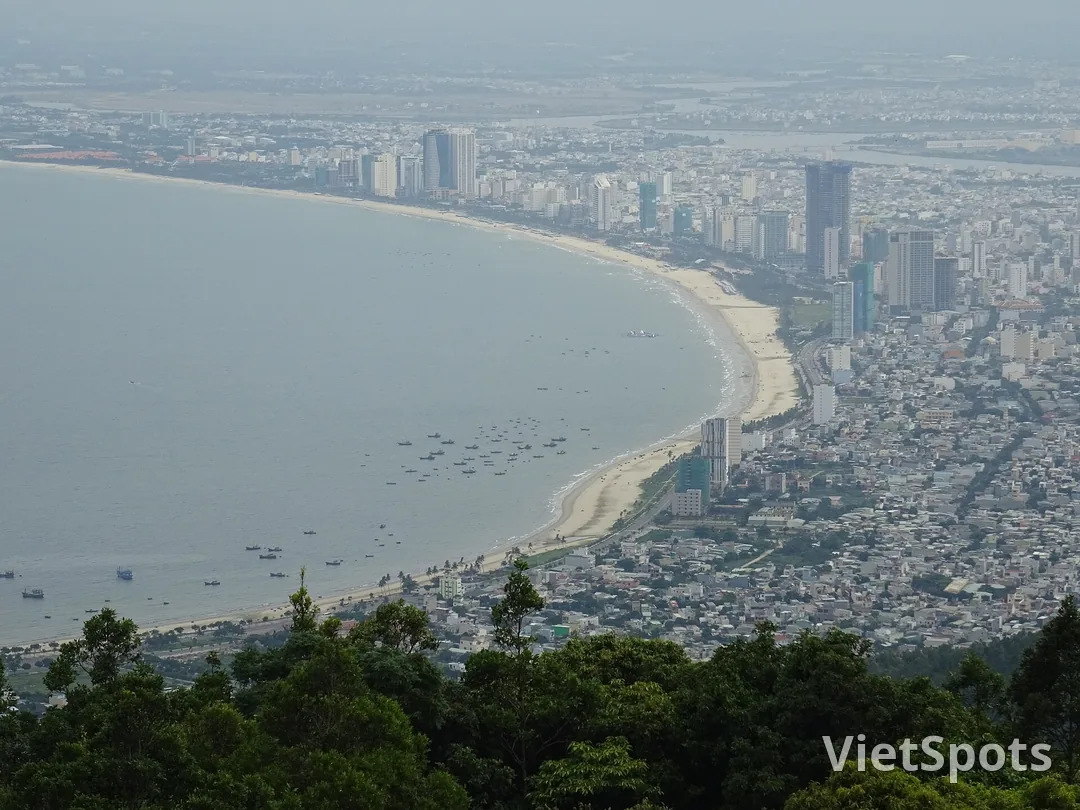
That strip of land is now a city. Standing on the mountain and looking down to the southwest, the flat area packed with houses between the Han River and the sea is exactly where the connection used to be. People heading up to Son Tra today ride straight from the city to the mountain without taking any ferry, so no one ever imagines they are traveling out to what was once an island.
The town stops at the foot of the mountain
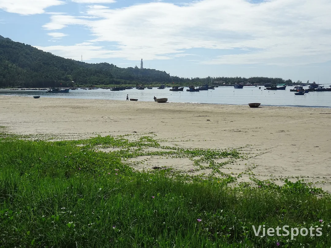
Son Tra is bordered by the sea on three sides, with only one side connected to the mainland. The city spreads to the foot of the mountain and then stops. Above, it is still forest, and this place has long been a nature reserve. Past the first few bends, the city disappears, leaving only the mountain cliff on one side and the sea on the other. Look back, and the city is already lying on the far side of the water.
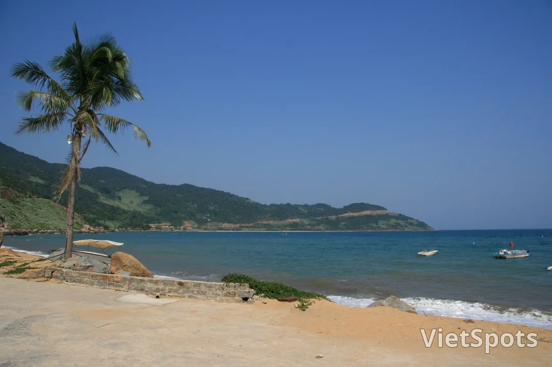
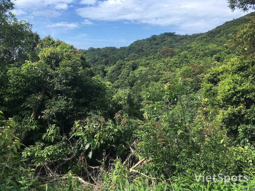
In the forest lives a troop of red-shanked doucs, one of the rarest primates in the world, dwelling in the treetops just a few kilometers from the city. And there is a banyan tree that has stood there for more than 800 years.
The tree is about 22 meters tall. From its canopy, aerial roots hang down to the ground and gradually grow into trunks, and today, counting both the main trunk and the secondary trunks, its circumference reaches 85 meters. Standing in the middle, you feel as if you are standing in a forest of pillars. This is the first tree in Da Nang to be recognized as a Vietnam Heritage Tree.
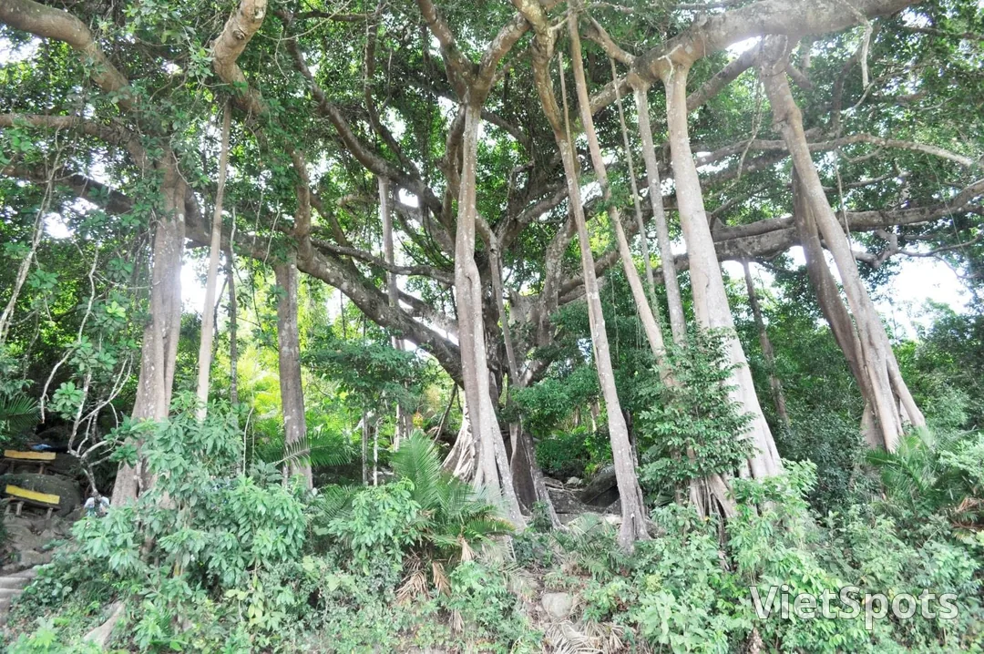
If you visit, please don't carve your name into the tree trunk. The old carvings are still there, and the tree will have to carry them for several hundred more years.
Standing on the old island, looking back
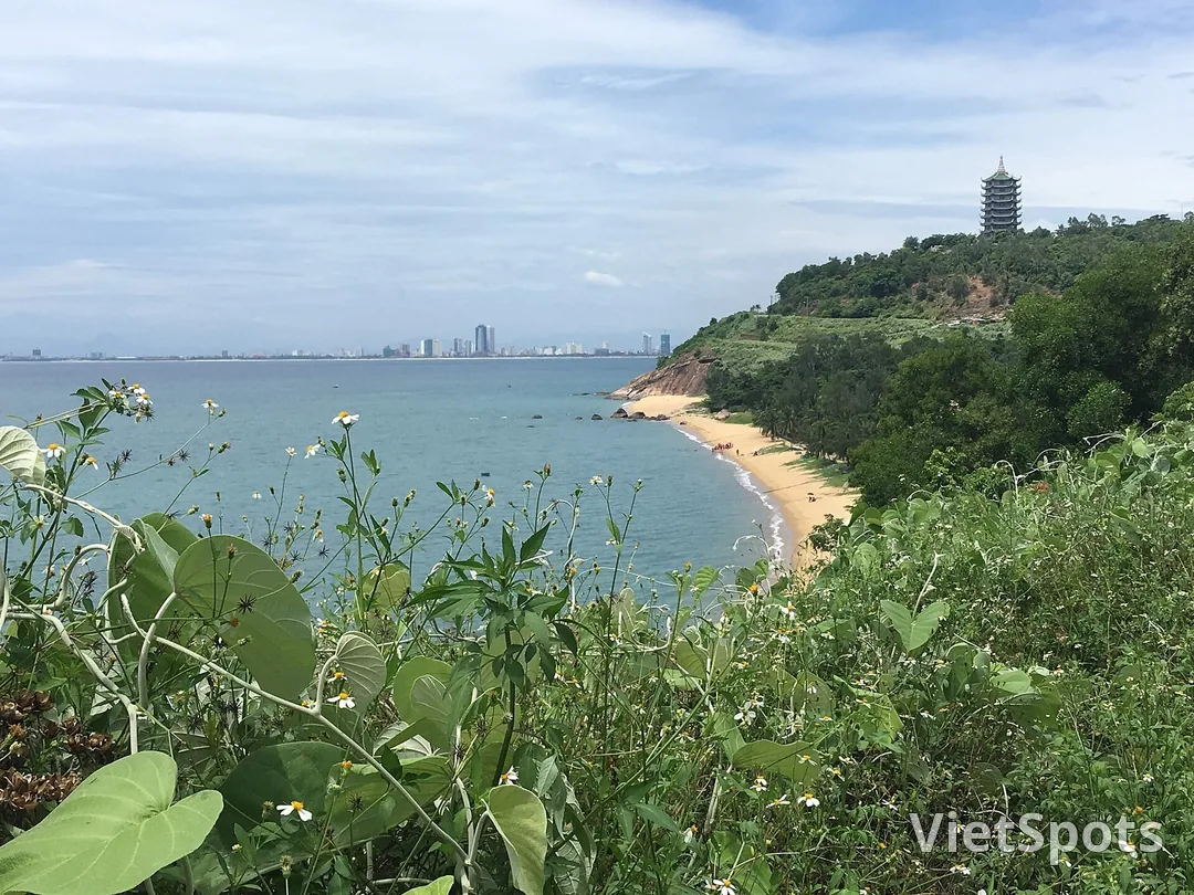
On the northern bends, the mountain road looks straight across the bay to Hai Van, right where the railway to Hue runs. Sit on the train and look across, and you'll see Son Tra; stand here and look across, and you'll see the railway.
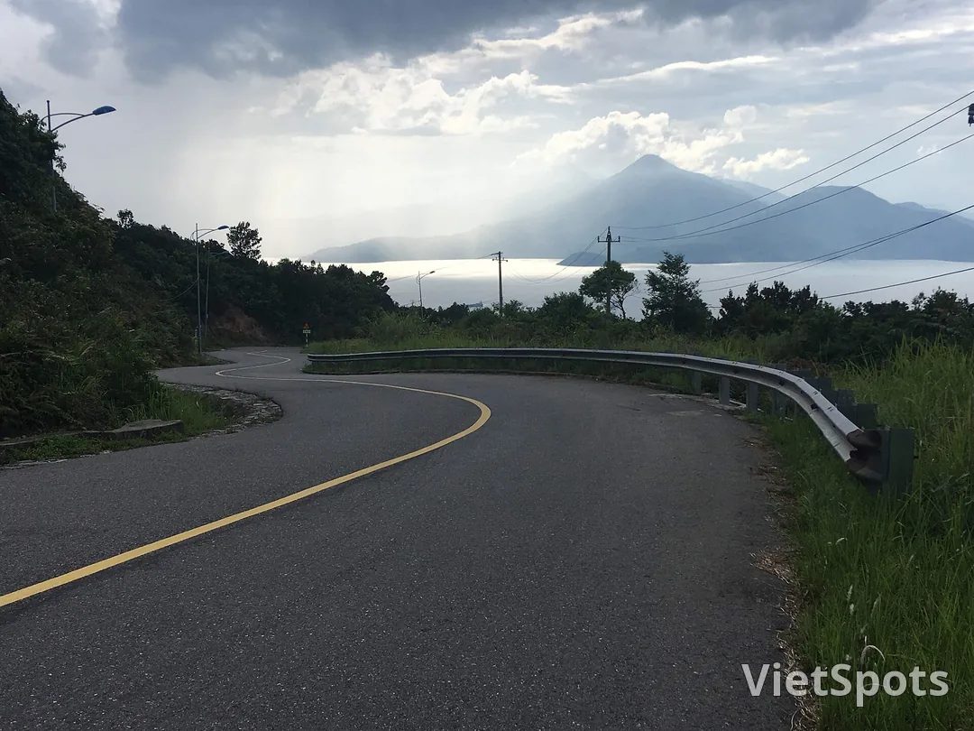
Hải Vân on one side, Sơn Trà on the other, the two mountain ranges embrace Da Nang Bay. On stormy days, standing up here, you can sometimes even see the rain sweeping across the surface of the bay.
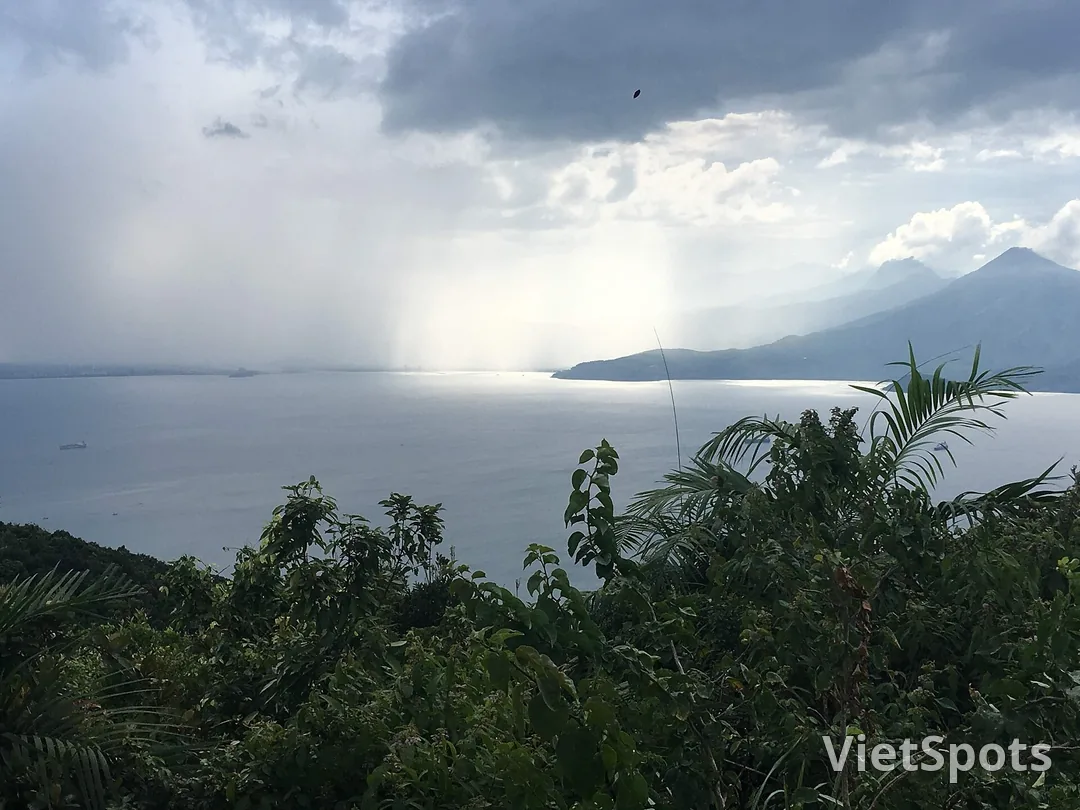
The places people usually stop by when they come up here, from the 67-meter-tall Lady Buddha statue to the quiet beaches at the foot of the mountain, all sit on that former island.
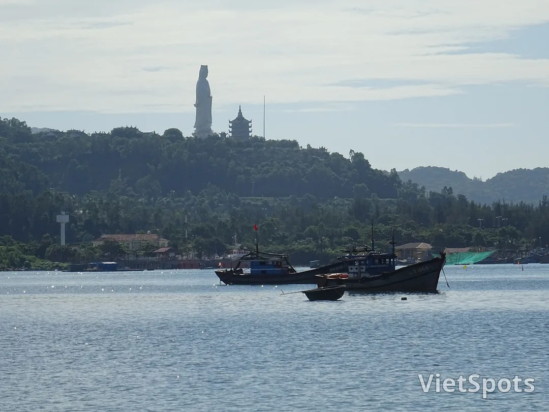
The sea took a very long time to join this island to the mainland, yet it took the people here only a few generations to forget that it was ever an island. Next time you take the train up to Huế, sit by a window on the sea side and look across the bay, and you'll see that the island is still there, just as it always was.
Photo: Christophe95 and Wikimedia Commons. Banyan tree photo: Hoài Nam, Da Nang Newspaper.
Book Travel in Da Nang — in English on VietSpots
- 🎁 Sign up and get 16 Welcome Pack coupons — e.g. Motorbike Rental 45%
- 👑 Member tier discount up to 15% on site (Silver 5% · Gold 15%)
- 🛂 Auto-fill arrival card📶 Compare lowest eSIM prices🚻 Find toilets
Comments